en
en 


Starting from Prati di Tivo, take the road that brings to Cima Alta.
The run, that is initially asphalted it becomes excavated and the road finishes in Laghetta. Here you turn to the left, take the excavated road. You arrives to a rod, go beyond it and continue on the run. Once you reach the first elbow curve continue to the right.
Even if less evident here there is a road that conducts to the Shelter of Montanino.
To this point follow the indications of the stakes of CAI, they will bring you on a path that goes. From here the path becomes a steep mule track without protections.
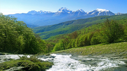
You cross a thin lawn to an excavated steep that leads to Forca di Valle. Arrived in country, follow the signs system, they will lead you to Tossicia.
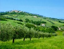
We recommend you the maximum attention since the itinerary is frequented by equestrian tourists that are usually direct in the opposite verse. The run can also depart from Teramo or from Montorio al Vomano, you need to take the asphalted road that brings to Prati di Tivo, or even from Cusciano, through Montagnone up to Laghetta.
Recommended period: from end of May to end of September
*we always recommend you the use of a helmet and to bring proper attire for the season, a kit for perforations and for first aid.*
Technical data:
- Difficulty: Avarage
- Maximum height: 1600 m. Laghetta
- Duration: 02:30:00
- Suitable for cycling: 100 %
- Type of fund: asphalt only for brief line, excavated and disconnected
- Altimetry
- Trend : Climb - Drop : 200 m.
- Trend : Descent - Drop : 1200 m.