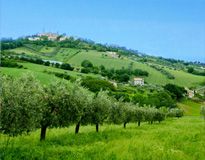
Departing from the Polyvalent Tourist Center "Sella del Gigante" of Tossicia you direct toward the small country of Pastino. Continuing on the path you arrive in the characteristic suburb of Aquilano.
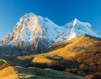
Near a little church, not far from the inhabited center, there is a crossroads. Take the flood waste road that climbs to Cusciano, then go on until Cerqueto, a country near Gran Sasso mountain well known for the living mangers.
From here keep on climbing toward Pietracamela where it is possible to rest and to water the horses.
The itinerary continues crossing and going up to Rio Arno and up to the falls. Turning to the left take "carrareccia" that it conducts to the skiing place of Prati di Tivo.
Crossed the square and take the road, partly asphalted, that conducts to Cima Alta, in direction Forca di Valle. The run ends in Tossicia.
Technical data:
- Difficulty: Avarage
- Maximum height: 1650 m. Cima Alta
- Development: 35000 m.
- Duration: 07:00:00
- Signage: Carta del Parco Gran Sasso-Laga, scala 1:50.000
- Altimetry
- Trend : Climb - Drop : 1300 m.
 en
en 


